Visual Asset Strategic Tools. Capture Building Information for Building Life Management. Open Source/Low Cost Technology Solutions for you to control your buildings
In my original blog on setting up OpenMaint in Windows on a VPS (Virtual Private Server) I made reference to my earlier attempts at trying to set it up on a Linux Operating System(OS). There are references in that article to 3 sources I tried using to set it up. I did not get it
Free Cad packages are fine, but a lot of time you are collaborating with others who are using the industry common tools and having to save files in a .DFX or other intermediate format ( Revit/ArchiCAD with IFC etc) always causes data loss and issues when transferring to another package, so having something that saves
There are a couple of free options when you are just getting into learning about websites. I would recommend WORDPRESS as a way to start as its setting up process is pretty simple and it can be added to with FREE plugins to add features to your site. There are two routes to go down:
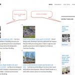
One way to present data is to use an image with hotspots that can either display data about the item at the hotspot on the image or use a link to get data or take you to another page with more information. The two images shows shaded areas (also hotspots that are with plugin Image
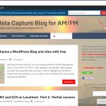
Background I am closing down one of my web hosting sites, and have migrated to another site with the same blog and revised demonstration site. Although I have had the new site up and running for a month or more, and have informed people visiting the original blog to check out the new site, there
After having a Curriculum Vitae that just listed my jobs/experience I decided to develop an on-line CV with timelines and images. See maxdrake.tk for my resume. There are a number of free and paid Timeline plugins which I tested, I used this blog to find free plugins. After testing some of them out that took
I have been a casual/semi-enthusiastic photographer for years, and have found that I have lots and lots of photographs at the moment. I decided to create a portfolio of my work on the web. One of my interests in building the site was how to manage large sized images and how they looked and loaded
There’s a Plugin for that! My blog and some of my other web sites focus on visualising Asset & Facilities Management issues , so uses BIM, CAD, PDF’s, maps, databases, photographs, tables, graphs and other data associated with properties. I want to highlight Free WordPress Plugins that have worked for me on my Blog, Demo
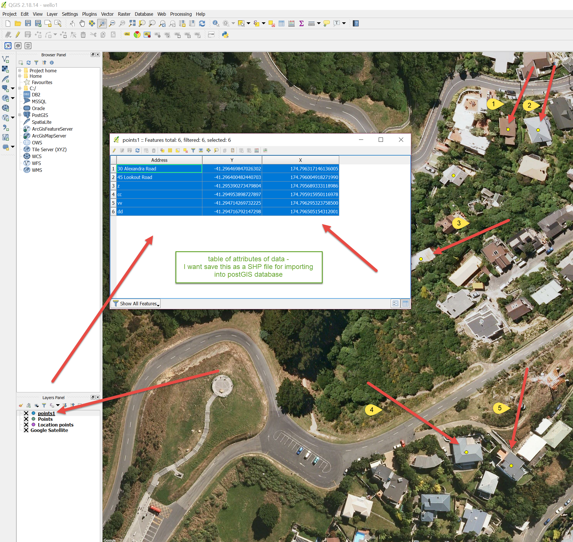
Part 2. At the end of part 1 I was left with openMAINT not recognising postGIS. At the end of part 2 I have the map in openMAINT, but no building icon on the map, or plan of building either, but there is a progression. After configuring openMAINT as per the CMDBuild documentation, I decided
I decided to look at the GIS ( Geographic Information System) component of OpenMAINT. I decided to test this initially on my PC. To date, I have not been able to activate the GIS component. I am stuck with the following error: Call: services/json/schema/setup/saveconfiguration ————————————————— Error: org.cmdbuild.exception.ORMException: ORM_POSTGIS_NOT_FOUND at org.cmdbuild.exception.ORMException But the steps below may